Agricultural Drones, Thermal Drone Services
What Is a Multispectral Drone? How the DJI Mavic 3M Helps You Spot Crop Stress Fast
Jun
Unlock better yields, targeted inputs, and real-time crop insigts with NDVI drone technology.
What’s a Multispectral Drone Anyway?
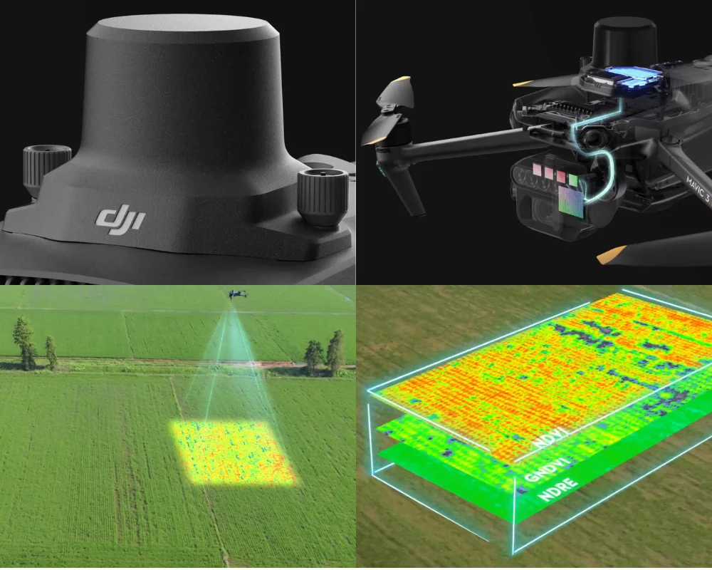
The DJI Mavic 3M is what’s called a multispectral drone, which means it carries multiple cameras that each capture different “bands” or layers of light—not just what the eye can see. One of the most useful outputs is NDVI, or Normalized Difference Vegetation Index.
NDVI turns images of your paddock into easy-to-read colour maps that tell you what’s healthy, what’s stressed, and what might need attention—before it’s visible from the ground.
Real-Time Crop Insights While Your Crop Grows
Fly the drone over your crop while it’s growing—no downtime, no waiting. The sensors scan and give you detailed data fast.
You’ll see:
- Which areas are thriving
- Where crops are struggling
- Where extra inputs are needed
- Where you can save
That means more yield with less waste.
What Each Camera Actually Does
Each camera plays a different role. Together, they give you a layered view of your paddocks, like a multi-dimensional crop health report.
More Data = Better Decisions = More Profit
Fly multiple times through the season. Early growth. Mid-stage. Pre-harvest. Each time = new insights.
Many farmers have seen higher returns and less overspend by flying smarter.
No Downtime, All Upside
This drone flies while the crop grows. No interruptions. Just fly, map, act.
Like x-ray vision for your farm—only smarter.
Final Thoughts
Multispectral drones aren’t just for tech-heads. They’re for any farmer who wants clear data, less guesswork, and better margins.
Want a demo or to see one in action??
We’ve got DJI M3 multispectral drones available now, and we’re always up for a chat about what’s possible when tech meets agriculture.
Or buy directly below. 👇
No results found
You can try clearing any filters or head to our store’s home