Thermal Imaging Services
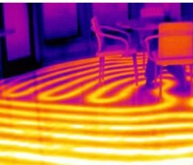
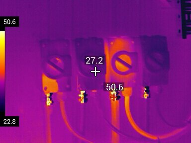
Thermal imaging allows us to complete non-invasive & non-destructive safety inspections of assets and buildings.
This can be to complete:
- Insurance Compliance Inspections
- Electrical, Mechanical and Industrial Thermal Inspections
- Building and Pre-purchase Inspections
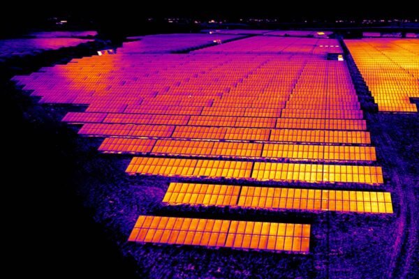
- Solar Panel and Roof Inspections
- Animal and Equine Thermal Imaging
- Thermal Drone Inspections
- Emergency Exit Lighting and Testing
We supply a full Thermal Report with every service for your records.
If you need an thermal safety inspection completed for insurance compliance or for your peace of mind, then please contact us today to book your appointment.
We also work alongside EFR Test and Tag to offer Testing and Tagging for all electrical items. If you require a Test and Tag service please get in contact with us.
Contact Us
Animal & Wildlife Monitoring

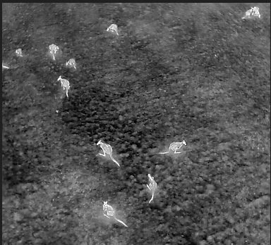
We work in partnership with Pilkara to undertake Animal surveying of native wildlife in regional Australia.
We work on utilising infared themal drones to locate and monitor animals from a distance without physically disturbing their habitat.
This is commonly used to:
- Monitor wildlife population numbers
- Track migration and habitats
- Monitor or locate invasive species
For more information or to book a service please contact us.
Contact UsOr for more information regarding animal monitoring and live catch traps click Pilkarra
Thermal Imaging Drone Products
We are a supplier of DJI Thermal Drones for purchase.
We also offer Thermal Drone Services for building, roof and solar panel thermal inspections.
Our thermal drone products are not currently available through our website, please get in contact with us if you are interested in purchasing one.
Contact Us
Drone Licenses and Certification
 Click Here
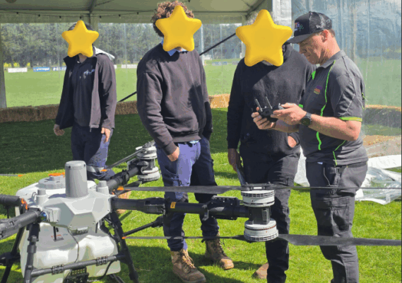
CIRTA Drones works closely with DroneStar to help get you the best preparation and training so you can fly with confidence.
Get in contact with us today for more information regarding what licensing or certification you are required to have for your drone of interest or the location you are planning to fly in.
Otherwise see our Drone Licenses and Certification page for more information.
For more information click here!Or to contact us and book in your licensing and qualification training
Drones and Products Available
We are an authorised distributor of DJI Drones.
We have a range of products on offer including drone packages and drone accessories.
We also offer Drone Kits that can be paired with drone license training to get you up and flying before you know it!
Some of our packages can be changed to accommodate your circumstances, but please contact us for more information regarding this.
View the Shop
Drone Deals
Here at CIRTA Drones we understand every farm and project is different that is why we aim to be flexible in our drone deals so you can get the best out of today’s drone technology.
To view the current deals we have on offer
Click HereIf you are unsure what deal suits you, contact us today and we will help find a deal or modify a deal to suit your needs.
Contact Us
Agricultural Drone Spraying Services
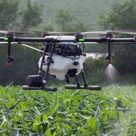
Whether it is spraying chemicals across a paddock, or spreading fertiliser or seeds across an inaccessible field.
Aerial Drone spraying and spreading can be a effective and efficient way to utilise the whole field without much effort.
Large and small areas can be completed within a day’s work with the right planning and equipment.
If you have been hesitant investing in an agricultural drone for your property maybe consider hiring our drone spraying services and find out if it works for you!
Contact Us
Drone Mapping Services 2D & 3D
Contact Us
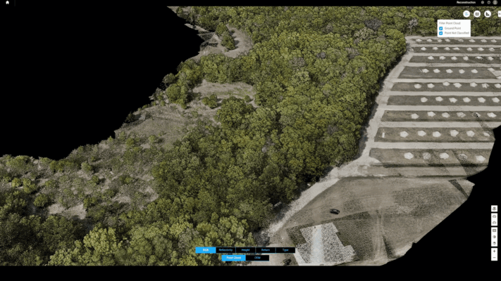
Our mapping services provide a detailed aerial view of your property. Maps can be created in 2D as flat images or in 3D which creates a 3D model of buildings and land.
Aerial mapping has many uses, it is commonly used to:
-
Create an updated map for drone spraying or spreading
-
Keep track of crop or paddock health overtime
-
Create accurate elevation models or building models
Drone mapping allows you to get insight into areas or locations you cannot access normally and see things from a new perspective giving you valuable insight for future decisions.
Multispectral Drone Imaging Services
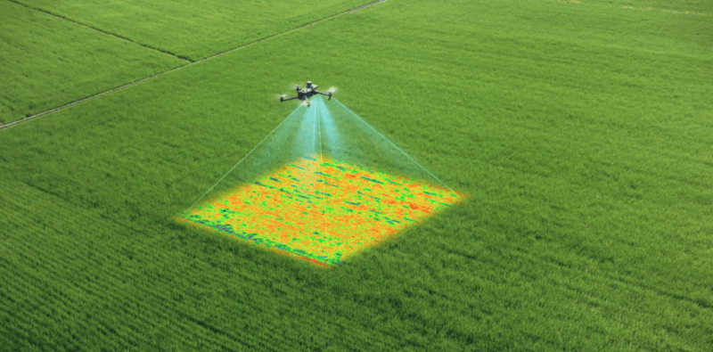
Using specialised drones we are able to capture and analyse multispectral images of property and land.
Multispectral imaging utilises different sensors to collect information and make an image that can be used to highlighting specific areas of focus for treatment, track vegetation growth and identifying areas of stress for crops.
Specifically in agriculture this is known as precision farming. Through multispectral images we can create a prescription map that can be given to our spray drones to target specific areas in a paddock.
Using multispectral images will allow us to help:
- Address nutrient deficiencies
- Counter pest infestations
- Treat vegetation diseases before symptoms even appear
If you’re not sure if your property can benefit from Multispectral mapping, contact us today.
We will help you find out what service will help you get the most out of your land.
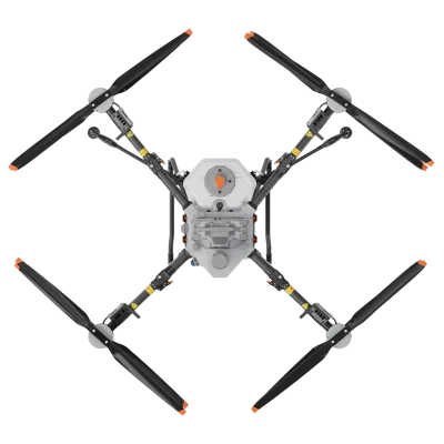
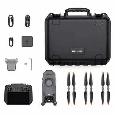
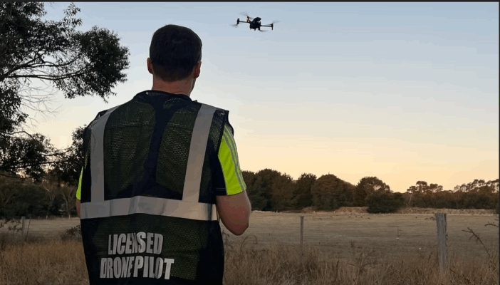
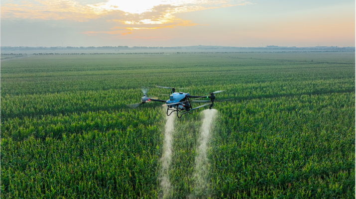
Who is CIRTA? What is CIRTA Drones?
CIRTA (Certified Infrared Thermatography Australia) is a family run local business based in Ballarat. It has been running since 2013 so we have over 13 years experience in the industry!
Originally specialising in infrared thermal imaging we have since expanded into thermal drones and agricultural drones to support community innovation even further.
We service mainly in Victoria but have done work all across Australia!
If you want to learn more, click on the About Us tab!
A Few Products We Have On Offer:
CIRTA’s Ultimate Farming Specialist Deal (T100 + DJI Mapping Drone)
$63,914.00
CIRTA’s highly recommended package. This special covers everything you need for mapping, analysis, spraying, spreading and lifting. It can do everything! It even includes a setup day where we come to your property to help guide you!
*PLEASE NOTE: this package can be changed to suit your individual needs, upon request (please contact us for more information)*
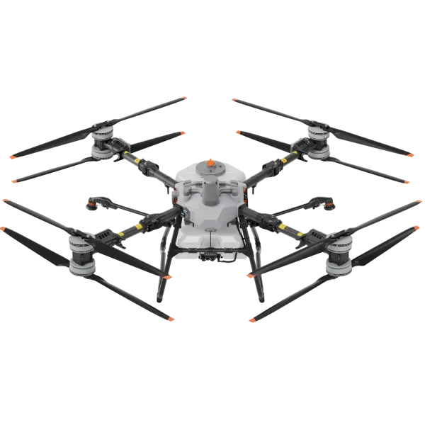
DJI AGRAS T100 Base Package
$30,380.00
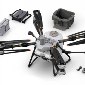
DJI T100 is DJI’s high capacity lift agriculture drone.
Massive capacity for large scale, ultra-efficient spraying and spreading activities.
LiDAR, Penta-Vision, radar, and AR-assisted obstacle detection.
100 kg lifting with intelligent control
We provide service mainly to Victoria
We can service other areas of Australia on request