
G’day from the Shed I just got my hands on the brand-new DJI M400, and I figured I’d do what I always do: open the box, have a play, and share my thoughts straight up, no fluff. I’ve been running the M350 solidly—love that machine—but this M400? Mate, this thing looks like a beast. So […]

04
Jul
Jul
Night operations push your skills. You rely less on visual cues and more on sensors, maps, and preparation. Every time I run a night flight, I’m reminded how much sharper and more disciplined it makes you as a pilot. It’s not easy—but it’s worth it. Why Fly at Night? Night missions with thermal drones offer […]
24
Jun
Jun
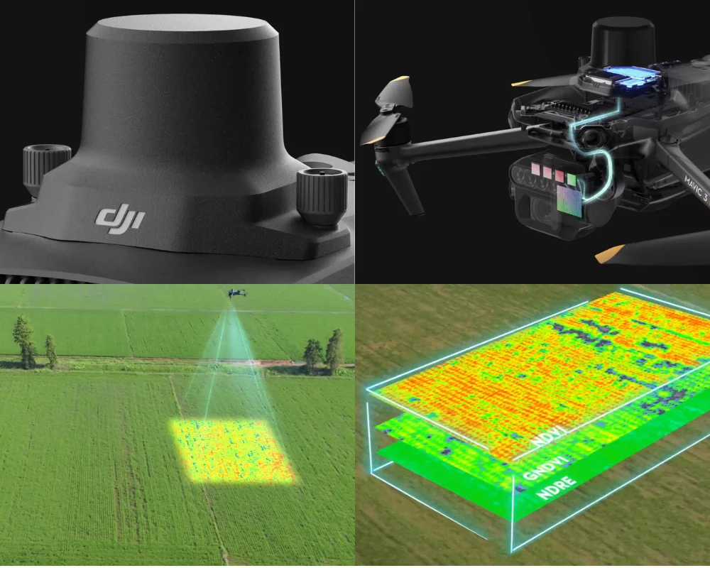
Unlock better yields, targeted inputs, and real-time crop insigts with NDVI drone technology. What’s a Multispectral Drone Anyway? The DJI Mavic 3M is what’s called a multispectral drone, which means it carries multiple cameras that each capture different “bands” or layers of light—not just what the eye can see. One of the most useful outputs […]
30
May
May
. When we’re out in the field talking tech with growers, we’re not just showing off shiny gear — we’re introducing tools that can transform how they manage their land. Today’s topic? A drone that’s as smart as it is airborne. Welcome to ‘On the Bench’ — CIRTA’s New Segment We kicked off a new […]
18
May
May
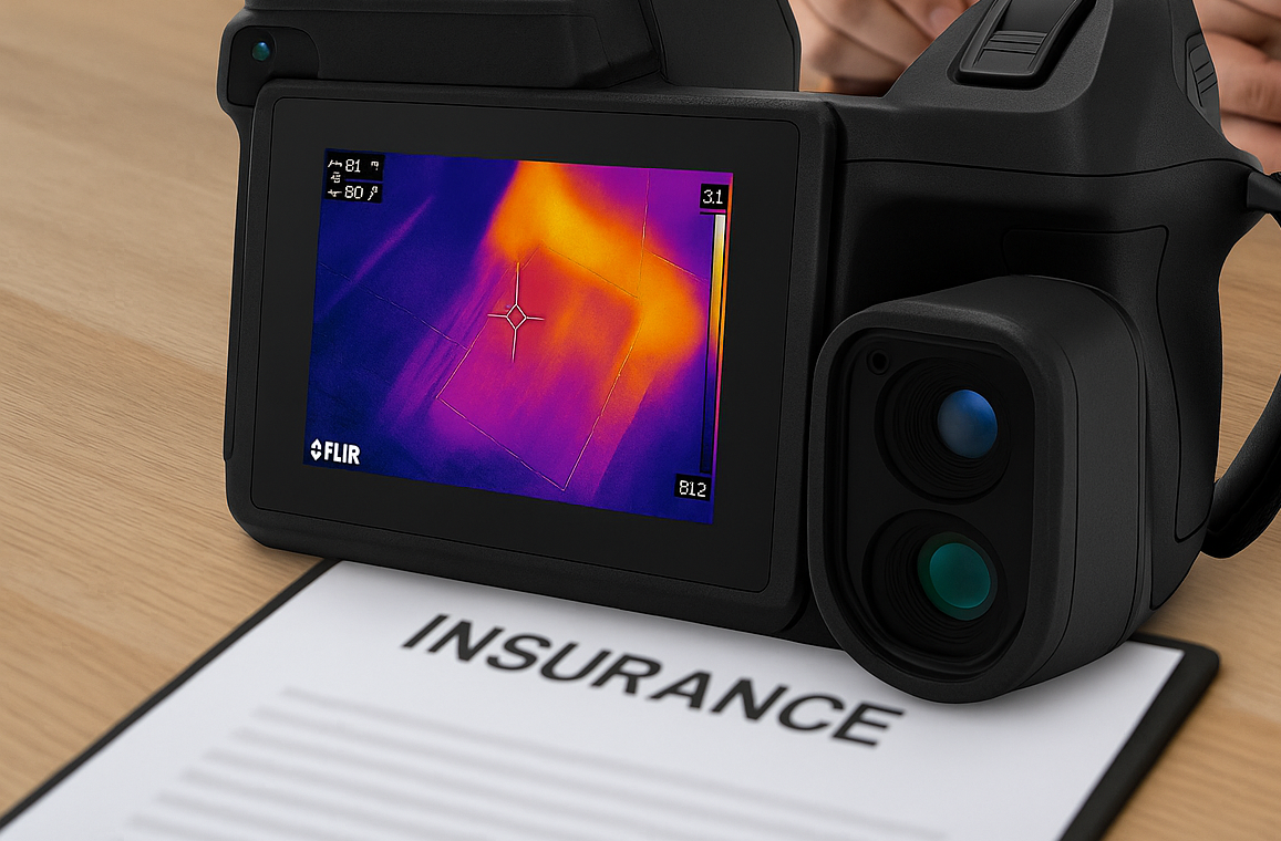
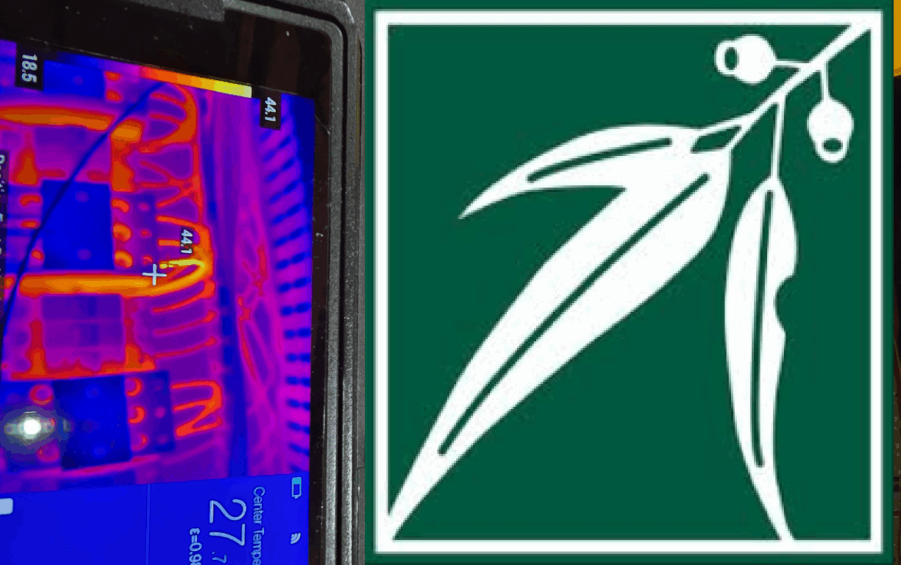
. When we’re out in the field performing thermal inspections for insurance purposes, we’re not just ticking boxes — we’re scanning for issues that could be hiding in plain sight. And today was a textbook example of why that matters. From Routine Scan to Real Risk On arrival at the site, our goal was simple: […]

11
May
May
Every tool has a story — and for us at CIRTA Infrared Thermography, that story started with a humble Mavic Pro. Picked up back in 2018, it was a solid little unit used for filming weddings, experimenting with drone footage, and learning the ropes of aerial imaging. It’s still going strong, surprisingly — a testament […]
04
May
May
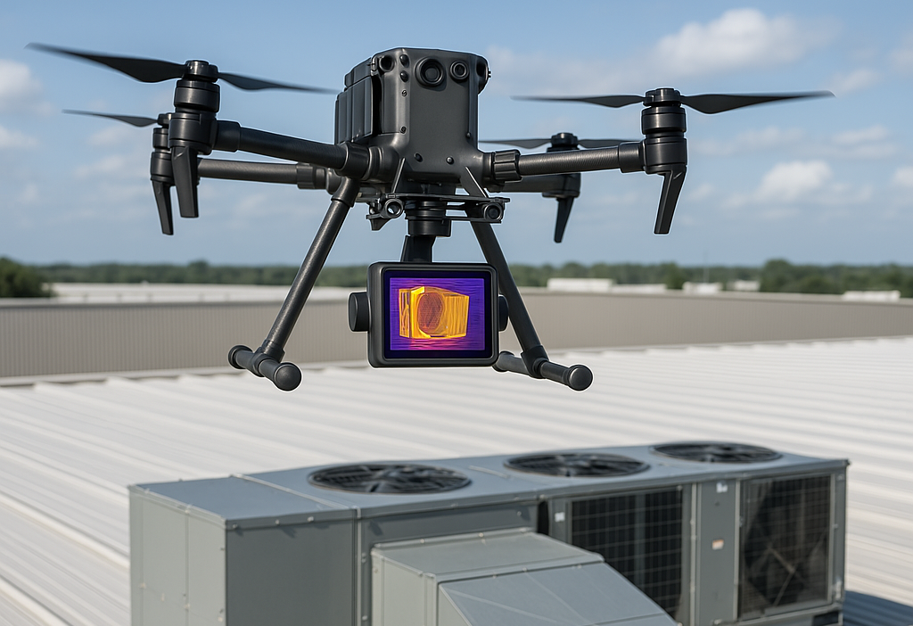
On a bright, sunny day — ideal conditions for thermal imaging — we headed out to a commercial site to carry out a full solar panel and roof assessment using drone-mounted infrared thermography. Why Combine Thermal Imaging with Aerial Inspection? Thermal drone inspections allow us to capture high-resolution infrared data across multiple roof surfaces, detecting […]
27
Apr
Apr
This week, we were on the road again, heading out to a rural property under the care of the National Trust in regional Victoria. When you’re out in the country, the jobs can be a little different, and sometimes you don’t know exactly what you’re walking into until you get there — and that’s part […]
20
Apr
Apr
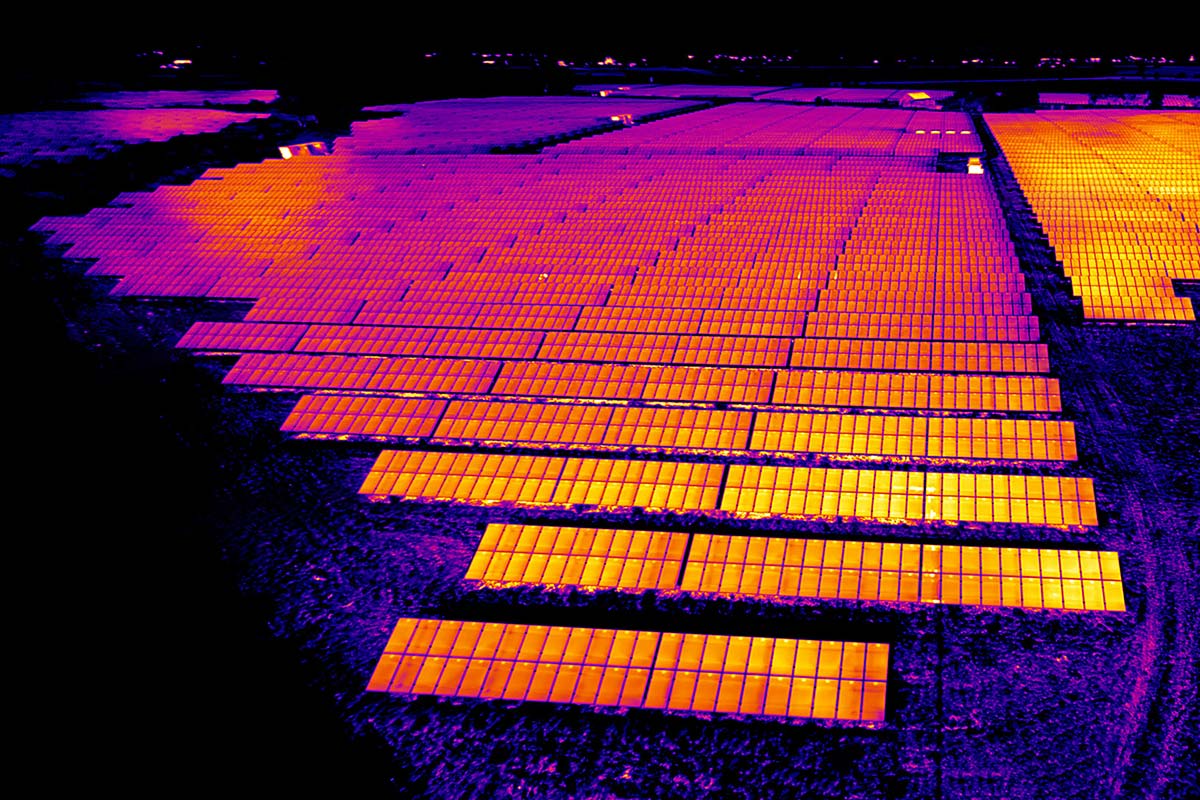
Thermal imaging using drones has become an essential tool for inspecting solar farms. By using advanced infrared cameras, technicians can detect heat anomalies that indicate faults, inefficiencies, or potential damage within solar panels. This process is vital for maintaining peak performance and preventing costly downtime. Why Use Thermal Imaging? Solar panels can develop faults over […]