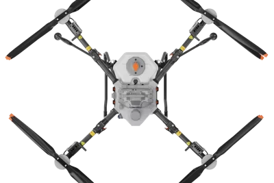
 DJI Agras Spray Tank - 40L for T50 Drones
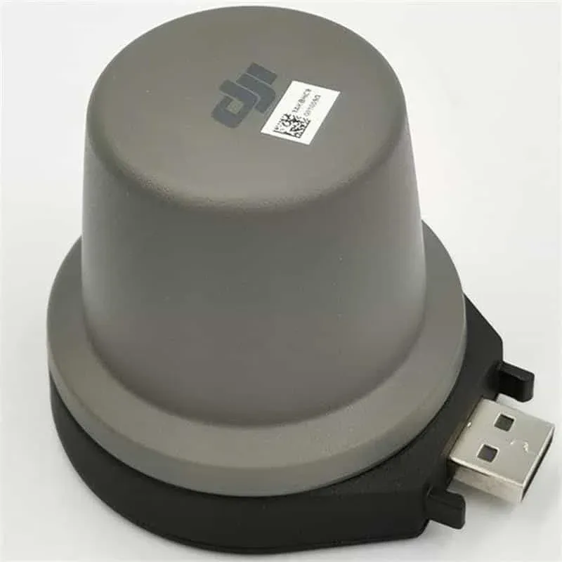
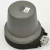
DJI 4G RTK GNSS Dongle for DJI RC Plus / RC Pro Enterprise Remote Controllers
$349.00
Brand: DJI | Code: DJIRTKDONGLE

Related products
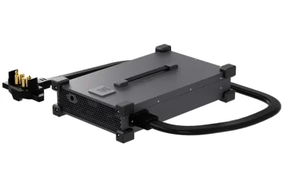
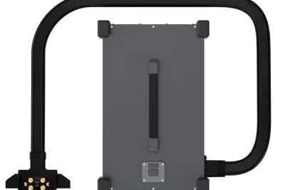
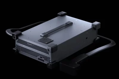
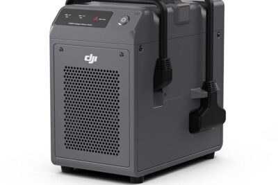
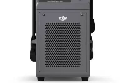
At a glance
• 12000W fast charging
• Adaptive Power Protection
• 3-Phase power input
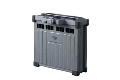
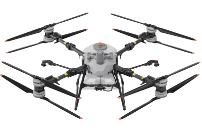
The best power source for your agricultural drone is the DJI Agras T40/T50 Intelligent Flight Battery (DB1560). This battery, which was made especially for the DJI Agras T40 and T50 models, offers unparalleled longevity, efficiency, and dependability, allowing for smooth operations in wide-ranging regions. It is the ideal partner for large-scale farming, crop spraying, sowing, and field monitoring due to its sophisticated features and strong performance.
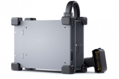
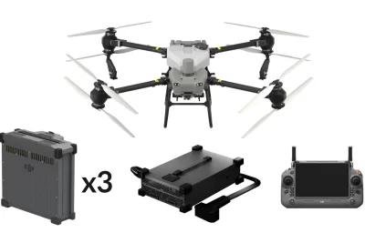
Brand: DJI | Code: DJIT50KIT-1
The DJI Mavic 3 Multispectral (M3M) is a compact drone designed for precision agriculture, environmental monitoring, and high-accuracy surveying. It integrates a 20MP RGB camera with four 5MP multispectral cameras, enabling detailed analysis of vegetation health and crop conditions. Agricultural Applications Field Scouting: Real-time detection of crop anomalies such as emergence deficiencies, weed pressure, and lodging. Orchard Mapping: Terrain-follow aerial surveying, tree counting, and 3D route generation using DJI Terra or DJI SmartFarm Platform. Variable Rate Application: Generation of prescription maps for targeted spraying and fertilization based on vegetation indices. Video
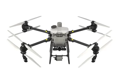
DJI T100 is DJI's high capacity lift agriculture drone.
Massive capacity for large scale, ultra-efficient spraying and spreading activities.
LiDAR, Penta-Vision, radar, and AR-assisted obstacle detection.
100 kg lifting with intelligent control