 DJI D-RTK 3 Survey Pole and Tripod Kit (excludes GNSS)
 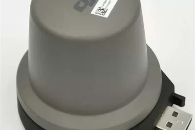 DJI 4G RTK GNSS Dongle for DJI RC Plus / RC Pro Enterprise Remote Controllers
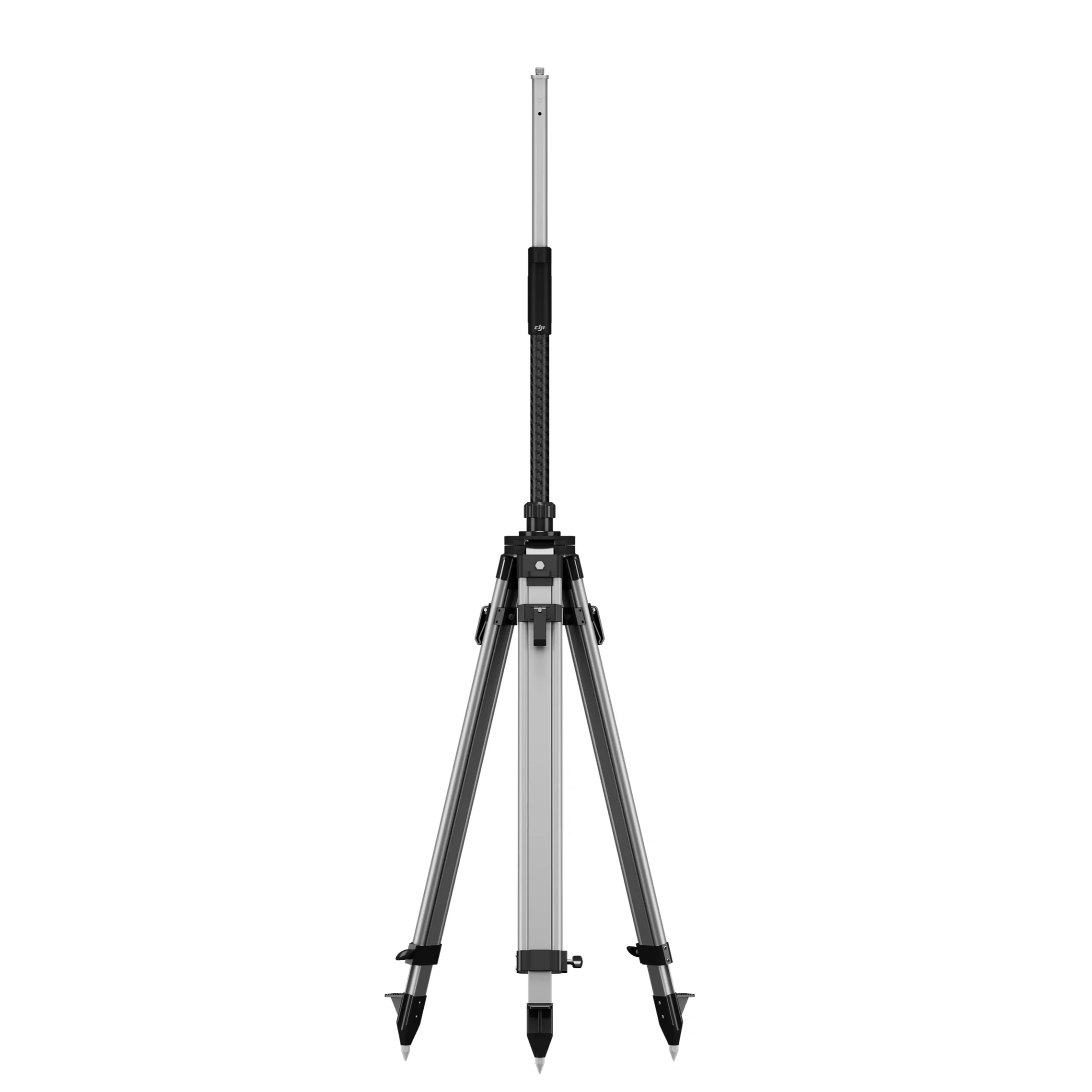
DJI D-RTK 3 Survey Pole and Tripod Kit (excludes GNSS)
$460.00
Brand: DJI | Code: DJID-RTK3TRIPOD
Designed to work together seamlessly with the DJI D-RTK 3 Multifunctional Station
Self-locking survey pole with easy height adjustment and dual-lock tripod for easy leveling.
Allows for use in base station mode or in rover mode.

Related products
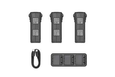
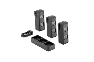
Brand: DJI | Code: DJIMAVIC3ENTPT05
At a glance
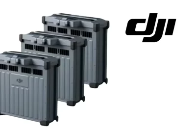
The DJI MAVIC 3 Enterprise battery kit includes three Intelligent Flight Batteries and one DJI Mavic 3 Battery Charging Hub (100W) to meet the needs for long-duration operations.
The best power source for your agricultural drone is the DJI Agras T40/T50 Intelligent Flight Battery (DB1560). This battery, which was made especially for the DJI Agras T40 and T50 models, offers unparalleled longevity, efficiency, and dependability, allowing for smooth operations in wide-ranging regions. It is the ideal partner for large-scale farming, crop spraying, sowing, and field monitoring due to its sophisticated features and strong performance.
Although not as large as the DB1560, the DB800 ensures your AGRAS T25 stays operational for longer, reducing downtime and increasing productivity, making it ideal for large-scale crop spraying and agricultural tasks. For the T25, you'll get 1-2 refills between battery swaps.

At a glance
The DJI T100 transforms into a transport solution.
With a lifting maximum capacity of 100 kg.
Features like auto balance control , weight detection, and automatic navigation to loading and unloading points.
Makes it adaptable to various agricultural transport scenarios.

CIRTA's highly recommended package. This special covers everything you need for mapping, analysis, spraying, spreading and lifting. It can do everything! It even includes a setup day where we come to your property to help guide you!

Brand: DJI | Code: DJIAGRAS-CHAR4P1
APN: 9328202022745 | Supplier Code: K19-1MB15A
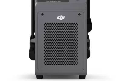
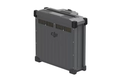
At a glance
DB2160 Intelligent Flight for DJI T100 & DJI T70P
41 Ah Battery
1500 charge cycles under warranty
500 A high-power connector
Weight: 14.7 kg
Ergonomic handle
