-
×
 DJI Spotlight for T50 / T25
$360.00
DJI Spotlight for T50 / T25
$360.00 -
×
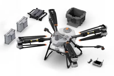 T100 Spray Ready Package - DJI AGRAS T100
$45,000.00
T100 Spray Ready Package - DJI AGRAS T100
$45,000.00 -
×
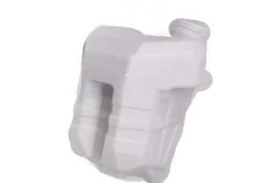
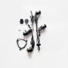
 DJI Agras T25 PT17 - Spray Tank (20L)
$105.00
DJI Agras T25 PT17 - Spray Tank (20L)
$105.00 -
×
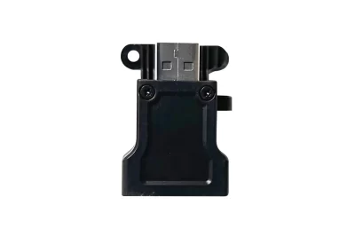 DJI RTK Dongle Connector ( DJI RC Plus )
$429.00
DJI RTK Dongle Connector ( DJI RC Plus )
$429.00 -
×
 CIRTA's Ultimate Farming Specialist Deal
$63,914.00
CIRTA's Ultimate Farming Specialist Deal
$63,914.00

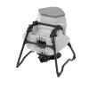
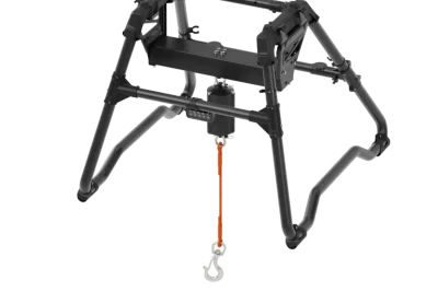
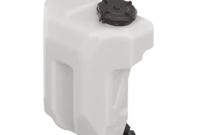
DJI Lift System Kit for DJI T100 Agras
$1,460.00
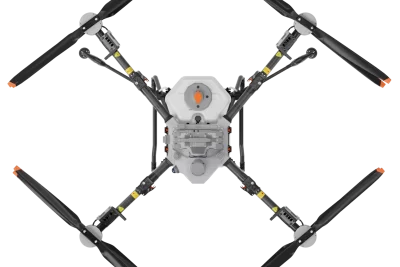
At a glance
The DJI T100 transforms into a transport solution.
With a lifting maximum capacity of 100 kg.
Features like auto balance control , weight detection, and automatic navigation to loading and unloading points.
Makes it adaptable to various agricultural transport scenarios.

Related products
$30,380.00
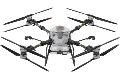
DJI T100 is DJI's high capacity lift agriculture drone.
Massive capacity for large scale, ultra-efficient spraying and spreading activities.
LiDAR, Penta-Vision, radar, and AR-assisted obstacle detection.
100 kg lifting with intelligent control

$460.00
Brand: DJI | Code: DJID-RTK3TRIPOD
Designed to work together seamlessly with the DJI D-RTK 3 Multifunctional Station
Self-locking survey pole with easy height adjustment and dual-lock tripod for easy leveling.
Allows for use in base station mode or in rover mode.
$2,320.00
The new D-RTK 3 Multifunctional Station integrates high-performance antennas and receiver modules, capable of tracking and resolving data from major global satellite navigation systems. It supports multiple data transmission links and can analyse device position and orientation through its built-in high-performance inertial measurement unit. With these outstanding features, it can serve as a base station to provide centimetre-level positioning for multiple drones simultaneously, or extend the operational range of drones in relay station mode. Additionally, the new rover station mode, combined with the DJI ENTERPRISE app and DJI Terra, offers a one-stop solution for high-precision aerial surveying applications.
$720.00
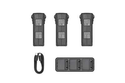
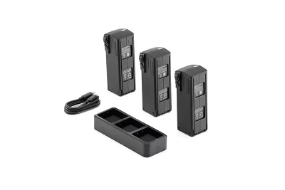
Brand: DJI | Code: DJIMAVIC3ENTPT05
At a glance
The DJI MAVIC 3 Enterprise battery kit includes three Intelligent Flight Batteries and one DJI Mavic 3 Battery Charging Hub (100W) to meet the needs for long-duration operations.
$7,919.00
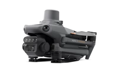
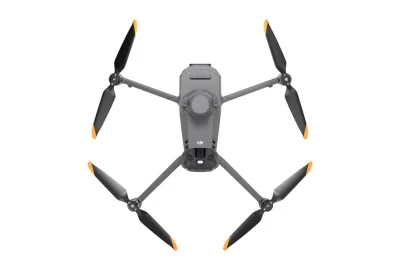
The DJI Mavic 3 Multispectral (M3M) is a compact drone designed for precision agriculture, environmental monitoring, and high-accuracy surveying. It integrates a 20MP RGB camera with four 5MP multispectral cameras, enabling detailed analysis of vegetation health and crop conditions. Agricultural Applications Field Scouting: Real-time detection of crop anomalies such as emergence deficiencies, weed pressure, and lodging. Orchard Mapping: Terrain-follow aerial surveying, tree counting, and 3D route generation using DJI Terra or DJI SmartFarm Platform. Variable Rate Application: Generation of prescription maps for targeted spraying and fertilization based on vegetation indices. Video