-
×
 T100 Spray Ready Package - DJI AGRAS T100
$45,000.00
T100 Spray Ready Package - DJI AGRAS T100
$45,000.00

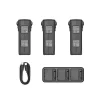
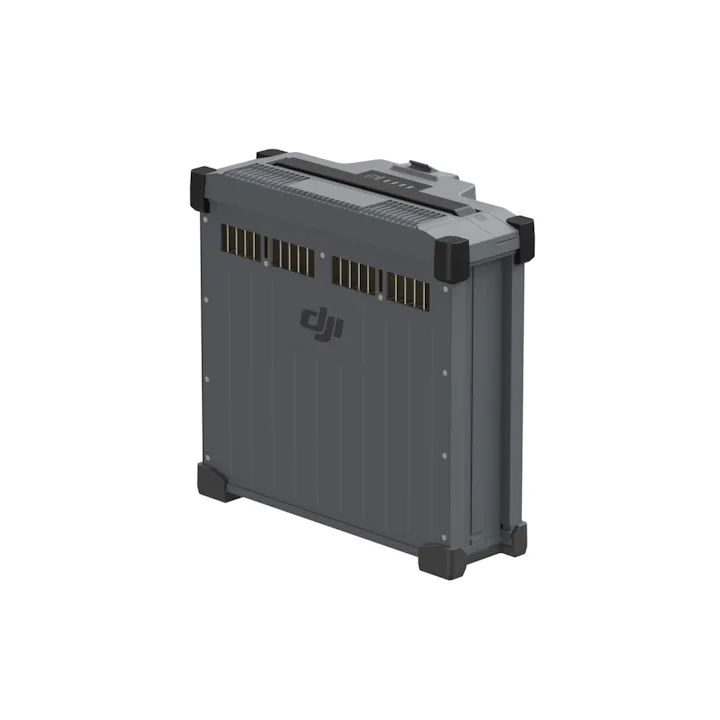

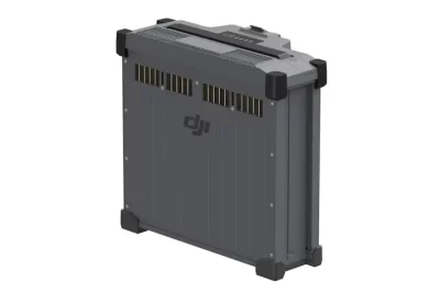
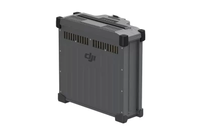
DJI DB1560 Battery for Agras T40 / T50 Drones
$3,850.00
Brand: DJI | Code: DJIDB1560BATT
At a glance
Removable battery for the DJI Agras T40 and T50 agriculture drones.

Related products
$3,190.00
Although not as large as the DB1560, the DB800 ensures your AGRAS T25 stays operational for longer, reducing downtime and increasing productivity, making it ideal for large-scale crop spraying and agricultural tasks. For the T25, you'll get 1-2 refills between battery swaps.
$2,320.00
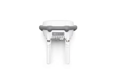
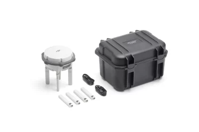
The new D-RTK 3 Multifunctional Station integrates high-performance antennas and receiver modules, capable of tracking and resolving data from major global satellite navigation systems. It supports multiple data transmission links and can analyse device position and orientation through its built-in high-performance inertial measurement unit. With these outstanding features, it can serve as a base station to provide centimetre-level positioning for multiple drones simultaneously, or extend the operational range of drones in relay station mode. Additionally, the new rover station mode, combined with the DJI ENTERPRISE app and DJI Terra, offers a one-stop solution for high-precision aerial surveying applications.
$1,100.00
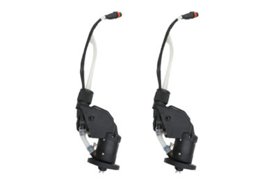
Additional pair of centrifugal sprinklers designed specifically for AGRAS T50 model drones. Increasing flow to a colossal 24 litres per minute, the Atomised Sprinkler Package is perfect for tasks that require a higher flow rate to penetrate dense environments and treat both the front and back of leaves such as orchard spraying.
$7,919.00
The DJI Mavic 3 Multispectral (M3M) is a compact drone designed for precision agriculture, environmental monitoring, and high-accuracy surveying. It integrates a 20MP RGB camera with four 5MP multispectral cameras, enabling detailed analysis of vegetation health and crop conditions. Agricultural Applications Field Scouting: Real-time detection of crop anomalies such as emergence deficiencies, weed pressure, and lodging. Orchard Mapping: Terrain-follow aerial surveying, tree counting, and 3D route generation using DJI Terra or DJI SmartFarm Platform. Variable Rate Application: Generation of prescription maps for targeted spraying and fertilization based on vegetation indices. Video

$1,460.00
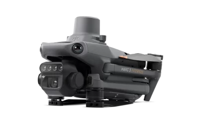
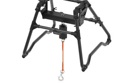
At a glance
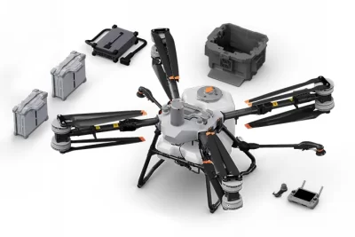
The DJI T100 transforms into a transport solution.
With a lifting maximum capacity of 100 kg.
Features like auto balance control , weight detection, and automatic navigation to loading and unloading points.
Makes it adaptable to various agricultural transport scenarios.
$2,380.00
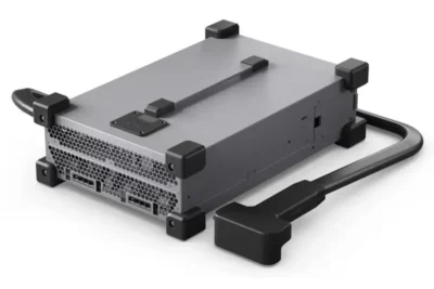
At a glance
Powerful 10,000-watt charger
Designed for the DJI Agras T25 / T40 / T50 / T100 batteries.